It was our intention to show what could be done by a relatively small club with limited
resources to devise a route through our own efforts; whereas most long distance
trails have been created by the Countryside Agency (now absorbed into Natural England) or local authorities. But before long, the concept of a route from London to the sea had caught on, and
the original idea for a simple written route description had become a formal
permanent trail, recognised and waymarked by the local authorities through whose
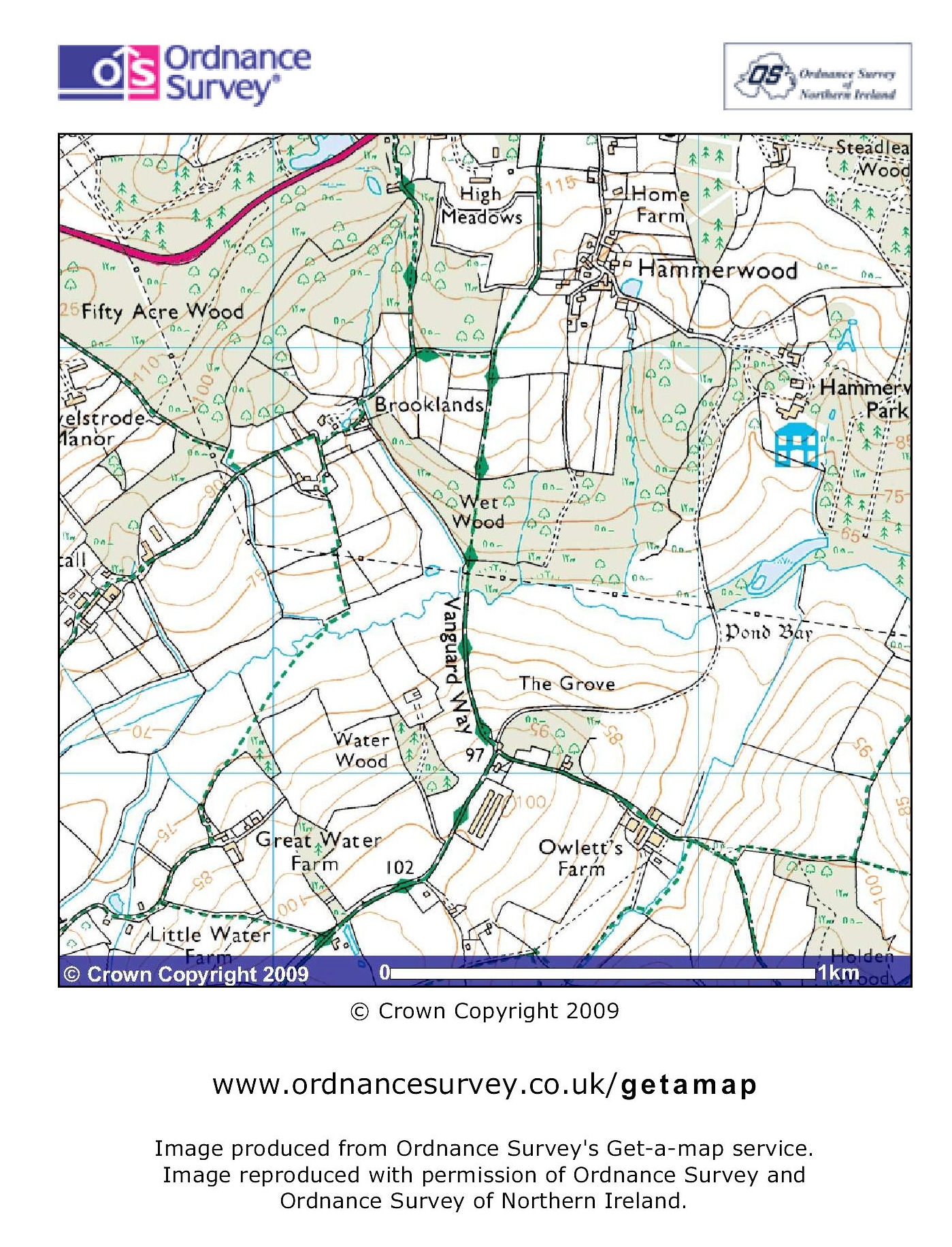
areas it passes. And the Ordnance Survey agreed to show the route on their
excellent Landranger and Explorer maps. So we think we can claim to have
exceeded our original target.
We can't claim to be the only ones with this idea. At the same time as the
Vanguard Way was being developed, the Sussex and Kent Areas of the Ramblers’
Association were putting together an idea for a similar route, the 82-mile
Wealdway, which starts at Gravesend then works its way to the Ashdown Forest.
About halfway along their respective distances, the two routes come together
and fight each other off several times before diverging at their south ends, the
Vanguard Way heading west to Seaford then Newhaven, the Wealdway east to Eastbourne.
However, the Vanguard Way offers a more direct route from London, and we just
beat them to launch by four months!
|